2014
SX7572 : Pennsland Lane and Rushlade Barn
taken 10 years ago, 3 km from Ashburton, Devon, England
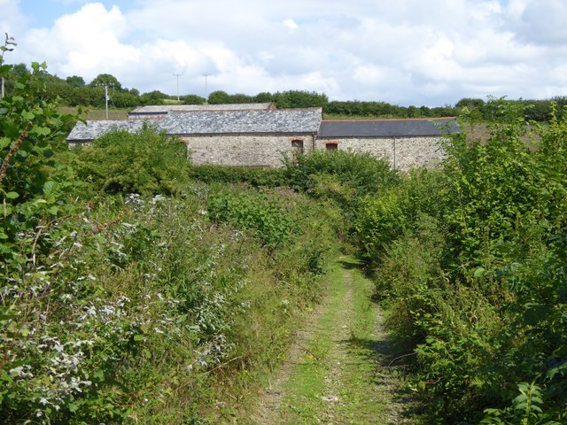
Pennsland Lane and Rushlade Barn
Pennsland Lane is a bridleway crossing a small valley south-west of the farm
 Map © Crown Copyright")
TIP: Click the map for more Large scale mapping
- Grid Square
- SX7572, 21 images (more nearby 🔍)
- Photographer
- David Smith (more nearby)
- Date Taken
- Wednesday, 6 August, 2014 (more nearby)
- Submitted
- Thursday, 7 August, 2014
- Subject Location
-
OSGB36:
 SX 7539 7265 [10m precision]
WGS84: 50:32.4183N 3:45.5928W - Camera Location
-
OSGB36: SX 7534 7263
- View Direction
- East-northeast (about 67 degrees)