2013
TR0827 : St Mary's Bay - 2013
taken 11 years ago, near to St Mary's Bay, Kent, England
This is 1 of 5 images, with title St Mary's Bay - 2013 in this square
St Mary's Bay - 2013
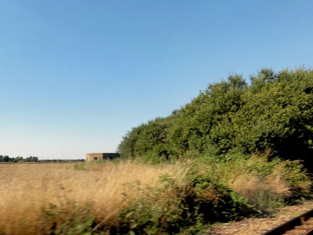
St Mary's Bay, Kent, Romney, Hythe & Dymchurch Railway, World War II Pillbox
 Map © Crown Copyright")
TIP: Click the map for more Large scale mapping
- Grid Square
- TR0827, 163 images (more nearby 🔍)
- Photographer
- Helmut Zozmann (more nearby)
- Date Taken
- Tuesday, 27 August, 2013 (more nearby)
- Submitted
- Saturday, 9 August, 2014
- Subject Location
-
OSGB36:
 TR 0840 2744 [10m precision]
WGS84: 51:0.5147N 0:58.1586E - Camera Location
-
OSGB36: TR 08422 27395
- View Direction
- North-northwest (about 337 degrees)