2014
NG4326 : Allt a' Mhàim
taken 10 years ago, near to Allt a' Mhàim [water Feature], Highland, Great Britain
This is 1 of 2 images, with title Allt a' Mhàim in this square
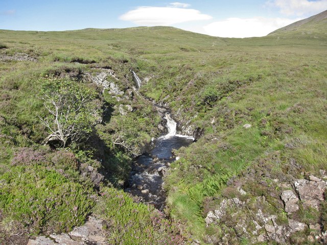
Allt a' Mhàim
Waterfalls in the small river, seen from the Bealach a' Mhàim path.
 Map © Crown Copyright")
TIP: Click the map for more Large scale mapping
- Grid Square
- NG4326, 7 images (more nearby 🔍)
- Photographer
- Richard Dorrell (more nearby)
- Date Taken
- Wednesday, 6 August, 2014 (more nearby)
- Submitted
- Sunday, 10 August, 2014
- Subject Location
-
OSGB36:
 NG 4370 2641 [10m precision]
WGS84: 57:15.3779N 6:15.0876W - Camera Location
-
OSGB36: NG 4369 2640
- View Direction
- Northeast (about 45 degrees)