2014
NN3004 : Path to Arrochar
taken 10 years ago, near to Tarbet, Argyll And Bute, Scotland
This is 1 of 3 images, with title Path to Arrochar in this square
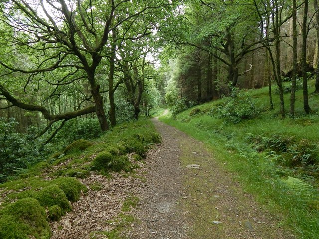
Path to Arrochar
The picture was taken from a point further along the path that is shown in NN3104 : Woodland walk. See NN3004 : Path to Arrochar for a view from further ahead.
 Map © Crown Copyright")
TIP: Click the map for more Large scale mapping
- Grid Square
- NN3004, 47 images (more nearby 🔍)
- Photographer
- Lairich Rig (more nearby)
- Date Taken
- Sunday, 29 June, 2014 (more nearby)
- Submitted
- Monday, 11 August, 2014
- Subject Location
-
OSGB36:
 NN 3091 0443 [10m precision]
WGS84: 56:12.1404N 4:43.6398W - Camera Location
-
OSGB36: NN 3097 0448
- View Direction
- Southwest (about 225 degrees)