2014
SY9579 : Path to Houns Tout
taken 10 years ago, near to Kingston, Dorset, England
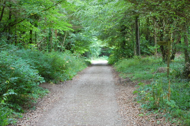
Path to Houns Tout
Looking south towards Houns Tout from near the small car park at the Kingston end.
 Map © Crown Copyright")
TIP: Click the map for more Large scale mapping
- Grid Square
- SY9579, 201 images (more nearby 🔍)
- Photographer
- Trevor Harris (more nearby)
- Date Taken
- Tuesday, 5 August, 2014 (more nearby)
- Submitted
- Monday, 11 August, 2014
- Subject Location
-
OSGB36:
 SY 9526 7931 [10m precision]
WGS84: 50:36.8089N 2:4.1013W - Camera Location
-
OSGB36: SY 9528 7937
- View Direction
- South-southwest (about 202 degrees)