2014
NR6018 : Shoreline NorthEast of Sròn Garbh, Kintyre
taken 10 years ago, 4 km SW of Machrihanish, Argyll And Bute, Scotland
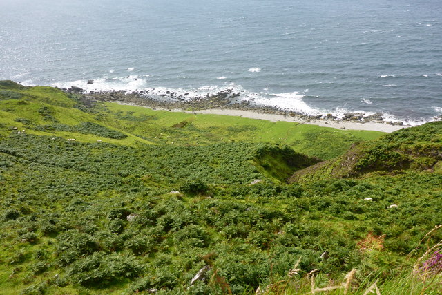
Shoreline NorthEast of Sròn Garbh, Kintyre
Extremely rough grazing in foreground, a 140m descent to shoreline, which has shingle beach and rocky shore.
 Map © Crown Copyright")
TIP: Click the map for more Large scale mapping
- Grid Square
- NR6018 (more nearby 🔍)
- Photographer
- David G Campbell (more nearby)
- Date Taken
- Monday, 11 August, 2014 (more nearby)
- Submitted
- Monday, 11 August, 2014
- Subject Location
-
OSGB36:
 NR 6073 1836 [10m precision]
WGS84: 55:24.0381N 5:46.8351W - Camera Location
-
OSGB36: NR 60980 18175
- View Direction
- Northwest (about 315 degrees)