2014
NO7357 : Montrose Beach
taken 10 years ago, near to Ferryden, Angus, Scotland
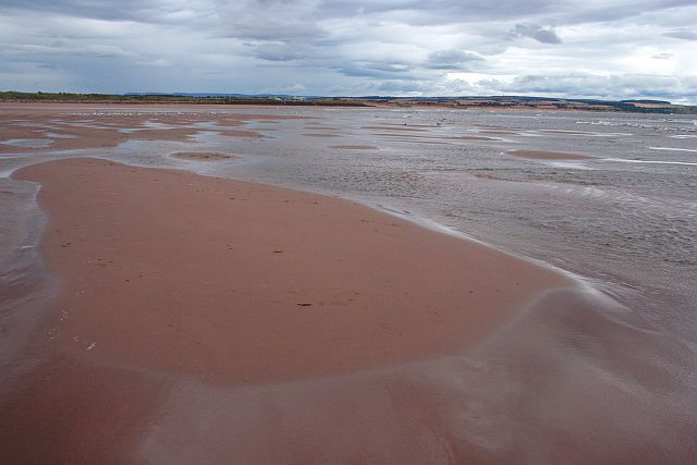
Montrose Beach
This is not the most exciting square, because these few square metres of sand and a few sandbanks offshore is all the land in the square. It is exposed only at very low tides; today's tide was just 0.3 metres above datum.
 Map © Crown Copyright")
TIP: Click the map for more Large scale mapping
- Grid Square
- NO7357 (more nearby 🔍)
- Photographer
- Anne Burgess (more nearby)
- Date Taken
- Tuesday, 12 August, 2014 (more nearby)
- Submitted
- Tuesday, 12 August, 2014
- Subject Location
-
OSGB36:
 NO 7301 5704 [10m precision]
WGS84: 56:42.2569N 2:26.5444W - Camera Location
-
OSGB36: NO 7301 5703
- View Direction
- NORTH (about 0 degrees)