2014
SE2762 : Farmland on Scarah Moor
taken 10 years ago, near to Ripley, North Yorkshire, England
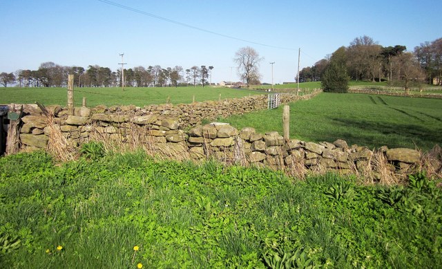
Farmland on Scarah Moor
From the same spot as SE2762 : Farm turn, top of Scarah Bank, looking to the right. The farm between the woods at Fish Pond Wood (left) and Tom Hill is Chimney Barn.
 Map © Crown Copyright")
TIP: Click the map for more Large scale mapping
- Grid Square
- SE2762, 41 images (more nearby 🔍)
- Photographer
- Derek Harper (more nearby)
- Date Taken
- Friday, 18 April, 2014 (more nearby)
- Submitted
- Wednesday, 13 August, 2014
- Subject Location
-
OSGB36:
 SE 2775 6232 [10m precision]
WGS84: 54:3.3655N 1:34.6554W - Camera Location
-
OSGB36: SE 2772 6231
- View Direction
- East-northeast (about 67 degrees)