2014
SJ8080 : Burleyhurst Farm
taken 10 years ago, near to Knolls Green, Cheshire East, England
This is 1 of 2 images, with title starting with Burleyhurst in this square
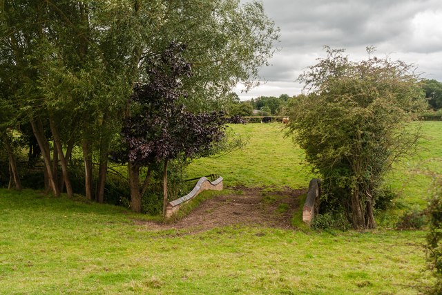
Burleyhurst Farm
Bridge carrying a footpath across Sugar Brook at Burleyhurst Farm.
 Map © Crown Copyright")
TIP: Click the map for more Large scale mapping
- Grid Square
- SJ8080, 22 images (more nearby 🔍)
- Photographer
- Peter McDermott (more nearby)
- Date Taken
- Saturday, 16 August, 2014 (more nearby)
- Submitted
- Saturday, 16 August, 2014
- Subject Location
-
OSGB36:
 SJ 8061 8076 [10m precision]
WGS84: 53:19.4042N 2:17.5536W - Camera Location
-
OSGB36: SJ 80622 80785
- View Direction
- South-southwest (about 202 degrees)