2014
TA2205 : Ripe wheat, a hazel hedge and a footbridge on the path to Laceby
taken 10 years ago, near to Laceby, North East Lincolnshire, England
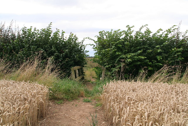
Ripe wheat, a hazel hedge and a footbridge on the path to Laceby
 Map © Crown Copyright")
TIP: Click the map for more Large scale mapping
- Grid Square
- TA2205, 27 images (more nearby 🔍)
- Photographer
- Chris (more nearby)
- Date Taken
- Saturday, 16 August, 2014 (more nearby)
- Submitted
- Saturday, 16 August, 2014
- Subject Location
-
OSGB36:
 TA 2206 0513 [10m precision]
WGS84: 53:31.7196N 0:9.6040W - Camera Location
-
OSGB36: TA 2210 0510
- View Direction
- Northwest (about 315 degrees)