2014
NT6803 : Bateinghope Burn
taken 10 years ago, near to Cross Cleugh [other Features], Northumberland, Great Britain
This is 1 of 5 images, with title Bateinghope Burn in this square
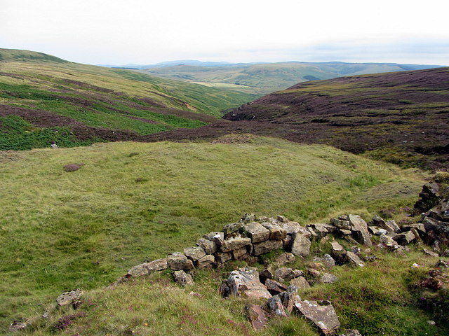
Bateinghope Burn
View down the valley from above the ruined limekilns.
 Map © Crown Copyright")
TIP: Click the map for more Large scale mapping
- Grid Square
- NT6803, 18 images (more nearby 🔍)
- Photographer
- Andrew Curtis (more nearby)
- Date Taken
- Friday, 8 August, 2014 (more nearby)
- Submitted
- Sunday, 17 August, 2014
- Subject Location
-
OSGB36:
 NT 6832 0354 [10m precision]
WGS84: 55:19.4937N 2:30.0493W - Camera Location
-
OSGB36: NT 68208 03448
- View Direction
- Northeast (about 45 degrees)