2014
NT6803 : Bateinghope mine road near Buzzard Crag
taken 10 years ago, 5 km S of Lethem, Scottish Borders, Scotland
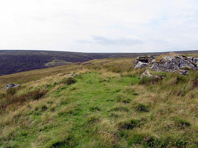
Bateinghope mine road near Buzzard Crag
 Map © Crown Copyright")
TIP: Click the map for more Large scale mapping
- Grid Square
- NT6803, 18 images (more nearby 🔍)
- Photographer
- Andrew Curtis (more nearby)
- Date Taken
- Friday, 8 August, 2014 (more nearby)
- Submitted
- Sunday, 17 August, 2014
- Subject Location
-
OSGB36:
 NT 6847 0395 [10m precision]
WGS84: 55:19.7154N 2:29.9102W - Camera Location
-
OSGB36: NT 6851 0399
- View Direction
- Southwest (about 225 degrees)