2014
NU0238 : The Stanky Burn valley
taken 10 years ago, near to Lowick, Northumberland, England
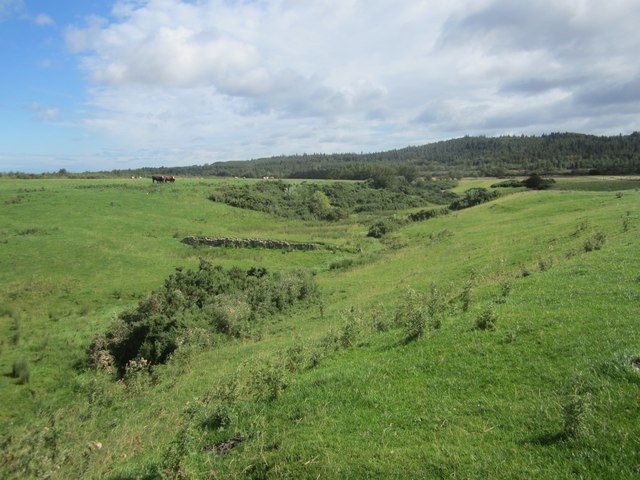
The Stanky Burn valley
The small valley in a grass field through which the Stanky Burn flows.
 Map © Crown Copyright")
TIP: Click the map for more Large scale mapping
- Grid Square
- NU0238, 9 images (more nearby 🔍)
- Photographer
- Graham Robson (more nearby)
- Date Taken
- Sunday, 17 August, 2014 (more nearby)
- Submitted
- Sunday, 17 August, 2014
- Subject Location
-
OSGB36:
 NU 0274 3817 [10m precision]
WGS84: 55:38.2249N 1:57.4822W - Camera Location
-
OSGB36: NU 02716 38156
- View Direction
- East-northeast (about 67 degrees)