2014
SD6357 : Trig point on Wolfhole Crag
taken 10 years ago, 5 km SW of Botton Head, Lancashire, England
This is 1 of 2 images, with title Trig point on Wolfhole Crag in this square
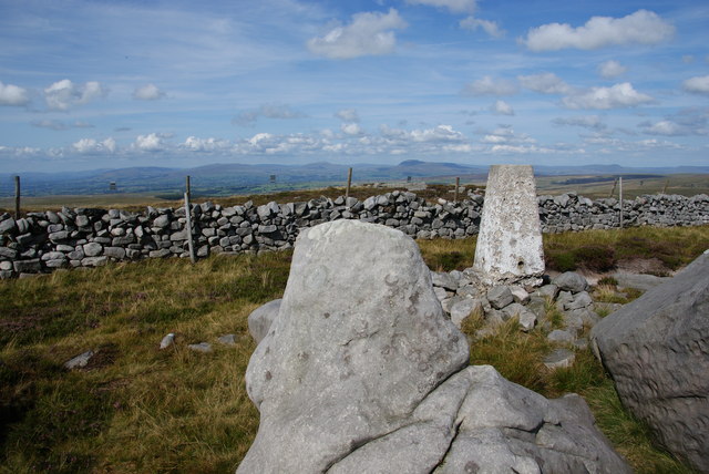
Trig point on Wolfhole Crag
The Yorkshire Dales are arrayed on the skyline.
 Map © Crown Copyright")
TIP: Click the map for more Large scale mapping
- Grid Square
- SD6357, 36 images (more nearby 🔍)
- Photographer
- Bill Boaden (more nearby)
- Date Taken
- Thursday, 7 August, 2014 (more nearby)
- Submitted
- Tuesday, 19 August, 2014
- Subject Location
-
OSGB36:
 SD 6337 5783 [10m precision]
WGS84: 54:0.9103N 2:33.6296W - Camera Location
-
OSGB36: SD 6336 5782
- View Direction
- North-northeast (about 22 degrees)