2013
TA2469 : Crop field, Cross Bow Hill
taken 11 years ago, near to Flamborough, East Riding of Yorkshire, England
This is 1 of 6 images, with title starting with Crop field in this square
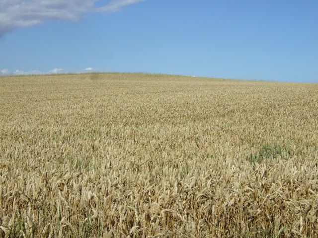
Crop field, Cross Bow Hill
 Map © Crown Copyright")
TIP: Click the map for more Large scale mapping
- Grid Square
- TA2469, 142 images (more nearby 🔍)
- Photographer
- JThomas (more nearby)
- Date Taken
- Thursday, 22 August, 2013 (more nearby)
- Submitted
- Wednesday, 20 August, 2014
- Subject Location
-
OSGB36:
 TA 2476 6976 [10m precision]
WGS84: 54:6.5159N 0:5.5907W - Camera Location
-
OSGB36: TA 24872 69694
- View Direction
- West-northwest (about 292 degrees)