2014
SX5054 : Laira Bridges
taken 10 years ago, near to Turnchapel, Plymouth, England
This is 1 of 6 images, with title Laira Bridges in this square
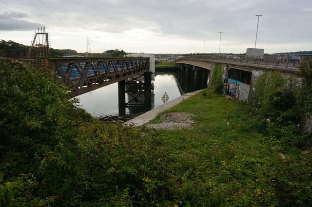
Laira Bridges
On the right is the road bridge carrying the A379 Laira Bridge Road over the Plym Estuary and to the left is the old disused Laira Rail Bridge.
 Map © Crown Copyright")
TIP: Click the map for more Large scale mapping
- Grid Square
- SX5054, 134 images (more nearby 🔍)
- Photographer
- jeff collins (more nearby)
- Date Taken
- Wednesday, 20 August, 2014 (more nearby)
- Submitted
- Wednesday, 20 August, 2014
- Subject Location
-
OSGB36:
 SX 5008 5428 [10m precision]
WGS84: 50:22.1562N 4:6.5679W - Camera Location
-
OSGB36: SX 5004 5432
- View Direction
- Southeast (about 135 degrees)