2014
SX3572 : Crossroads on the A388
taken 10 years ago, near to Kelly Bray, Cornwall, England
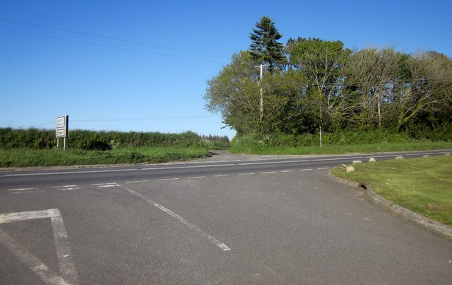
Crossroads on the A388
A staggered crossroads beside SX3572 : Camelot Kennels, with the lane ahead to South Coombeshead, and the lane behind the camera to Golberdon.
 Map © Crown Copyright")
TIP: Click the map for more Large scale mapping
- Grid Square
- SX3572, 19 images (more nearby 🔍)
- Photographer
- Derek Harper (more nearby)
- Date Taken
- Wednesday, 14 May, 2014 (more nearby)
- Submitted
- Wednesday, 20 August, 2014
- Subject Location
-
OSGB36:
 SX 3511 7253 [10m precision]
WGS84: 50:31.7551N 4:19.6697W - Camera Location
-
OSGB36: SX 3509 7252
- View Direction
- East-northeast (about 67 degrees)