2014
SX3770 : Track by the A390
taken 10 years ago, near to Callington, Cornwall, England
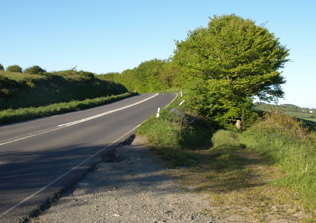
Track by the A390
A track drops to a field, while the main road from Callington to Gunnislake approaches a bend. SX3770 : Farmland east of Callington and SX3770 : Field beside the A390 are views to the right from this lay-by.
 Map © Crown Copyright")
TIP: Click the map for more Large scale mapping
- Grid Square
- SX3770, 31 images (more nearby 🔍)
- Photographer
- Derek Harper (more nearby)
- Date Taken
- Wednesday, 14 May, 2014 (more nearby)
- Submitted
- Wednesday, 20 August, 2014
- Subject Location
-
OSGB36:
 SX 3785 7029 [10m precision]
WGS84: 50:30.5934N 4:17.2937W - Camera Location
-
OSGB36: SX 3782 7027
- View Direction
- Northeast (about 45 degrees)