2014
SE4347 : National Cycle Network 665
taken 10 years ago, near to Walton, Leeds, England
This is 1 of 3 images, with title National Cycle Network 665 in this square
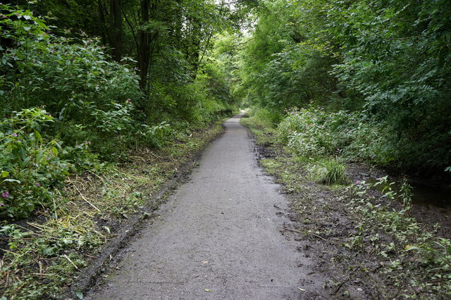
National Cycle Network 665
Towards Thorp Arch.
 Map © Crown Copyright")
TIP: Click the map for more Large scale mapping
- Grid Square
- SE4347, 39 images (more nearby 🔍)
- Photographer
- Ian S (more nearby)
- Date Taken
- Saturday, 16 August, 2014 (more nearby)
- Submitted
- Thursday, 21 August, 2014
- Subject Location
-
OSGB36:
 SE 4349 4705 [10m precision]
WGS84: 53:55.0665N 1:20.3603W - Camera Location
-
OSGB36: SE 4345 4711
- View Direction
- Southeast (about 135 degrees)