2014
SP5164 : Nethercote Farmland
taken 10 years ago, near to Flecknoe, Warwickshire, England
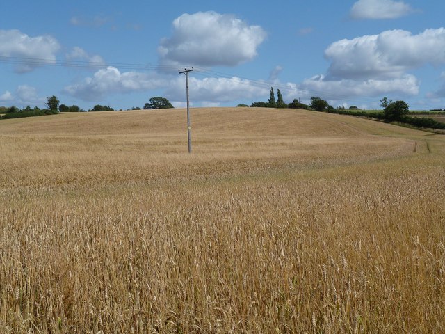
Nethercote Farmland
View from close to the canal bridge.
 Map © Crown Copyright")
TIP: Click the map for more Large scale mapping
- Grid Square
- SP5164, 29 images (more nearby 🔍)
- Photographer
- Ian Rob (more nearby)
- Date Taken
- Wednesday, 6 August, 2014 (more nearby)
- Submitted
- Thursday, 21 August, 2014
- Subject Location
-
OSGB36:
 SP 5116 6431 [10m precision]
WGS84: 52:16.4741N 1:15.0971W - Camera Location
-
OSGB36: SP 5109 6434
- View Direction
- East-southeast (about 112 degrees)