2014
NT1977 : Forth sunset from the air
taken 10 years ago, near to Cramond, Edinburgh, Scotland
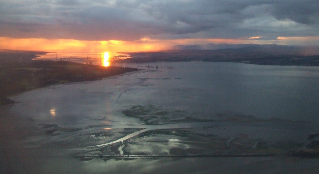
Forth sunset from the air
The causeway to Cramond island is in the foreground, the bridges are in the left distance.
 Map © Crown Copyright")
TIP: Click the map for more Large scale mapping
- Grid Square
- NT1977, 196 images (more nearby 🔍)
- Photographer
- Thomas Nugent (more nearby)
- Date Taken
- Friday, 22 August, 2014 (more nearby)
- Submitted
- Saturday, 23 August, 2014
- Subject Location
-
OSGB36:
 NT 19 77 [1000m precision]
WGS84: 55:59.0218N 3:17.5061W - View Direction
- West-northwest (about 292 degrees)