2014
SD6954 : Wood House Lane
taken 10 years ago, 3 km from Slaidburn, Lancashire, England
This is 1 of 2 images, with title starting with Wood House in this square
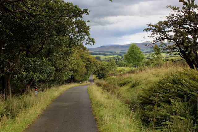
Wood House Lane
This is basically a no through road, although it does continue as a well maintained track as Hornby Road below Dunsop Fell, up Croasdale and beyond over the wilds of Bowland.
The photograph looks down this narrow lane towards Higher Wood House, on its journey into the Hodder Valley.
The photograph looks down this narrow lane towards Higher Wood House, on its journey into the Hodder Valley.
 Map © Crown Copyright")
TIP: Click the map for more Large scale mapping
- Grid Square
- SD6954, 21 images (more nearby 🔍)
- Photographer
- Chris Heaton (more nearby)
- Date Taken
- Friday, 22 August, 2014 (more nearby)
- Submitted
- Saturday, 23 August, 2014
- Subject Location
-
OSGB36:
 SD 6943 5459 [10m precision]
WGS84: 53:59.1869N 2:28.0614W - Camera Location
-
OSGB36: SD 6938 5465
- View Direction
- Southeast (about 135 degrees)