2014
SY8186 : East Knighton, maize field
taken 10 years ago, near to East Knighton, Dorset, England
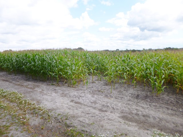
East Knighton, maize field
 Map © Crown Copyright")
TIP: Click the map for more Large scale mapping
- Grid Square
- SY8186, 13 images (more nearby 🔍)
- Photographer
- Mike Faherty (more nearby)
- Date Taken
- Saturday, 23 August, 2014 (more nearby)
- Submitted
- Saturday, 23 August, 2014
- Subject Location
-
OSGB36:
 SY 8160 8631 [10m precision]
WGS84: 50:40.5694N 2:15.7061W - Camera Location
-
OSGB36: SY 8160 8631
- View Direction
- Northeast (about 45 degrees)