2014
NO7095 : Deeside Way leaving Glebe Park
taken 10 years ago, near to Banchory, Aberdeenshire, Scotland
This is 1 of 8 images, with title starting with Deeside Way in this square
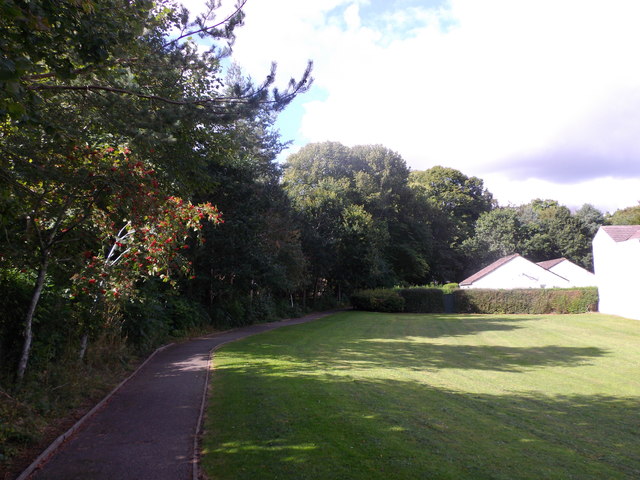
Deeside Way leaving Glebe Park
Towards the Dee Bridge in Banchory.
 Map © Crown Copyright")
TIP: Click the map for more Large scale mapping
- Grid Square
- NO7095, 170 images (more nearby 🔍)
- Photographer
- Stanley Howe (more nearby)
- Date Taken
- Saturday, 23 August, 2014 (more nearby)
- Submitted
- Saturday, 23 August, 2014
- Subject Location
-
OSGB36:
 NO 7047 9559 [10m precision]
WGS84: 57:3.0255N 2:29.3031W - Camera Location
-
OSGB36: NO 7049 9560
- View Direction
- West-southwest (about 247 degrees)