2014
NY6298 : Forest above Deadwater Burn
taken 10 years ago, near to Deadwater, Northumberland, England
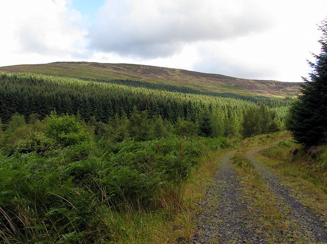
Forest above Deadwater Burn
 Map © Crown Copyright")
TIP: Click the map for more Large scale mapping
- Grid Square
- NY6298, 13 images (more nearby 🔍)
- Photographer
- Andrew Curtis (more nearby)
- Date Taken
- Friday, 22 August, 2014 (more nearby)
- Submitted
- Saturday, 23 August, 2014
- Subject Location
-
OSGB36:
 NY 621 988 [100m precision]
WGS84: 55:16.9390N 2:35.8547W - Camera Location
-
OSGB36: NY 618 982
- View Direction
- North-northeast (about 22 degrees)