2012
TQ2466 : Pavilion, King George's Playing Field
taken 12 years ago, near to Worcester Park, Sutton, England
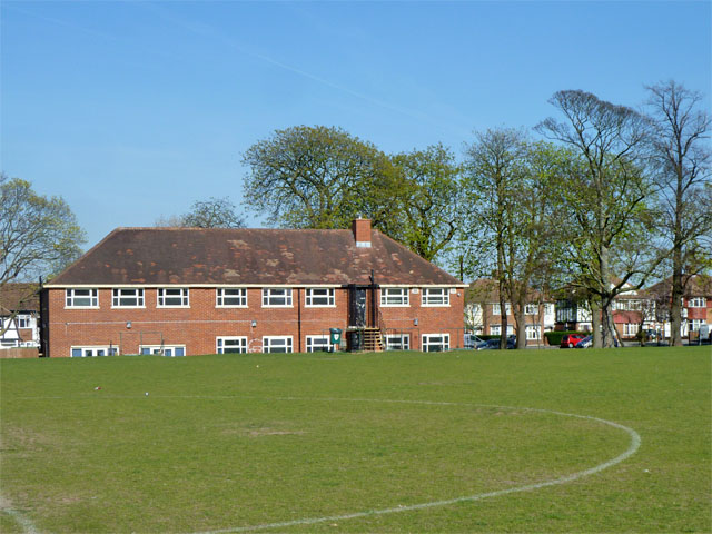
Pavilion, King George's Playing Field
It seems rather more than a pavilion. The playing field has been levelled above the natural ground level which falls gently towards the Morden Brook, so giving the impression the building is sinking into the ground.
 Map © Crown Copyright")
TIP: Click the map for more Large scale mapping
- Grid Square
- TQ2466, 54 images (more nearby 🔍)
- Photographer
- Robin Webster (more nearby)
- Date Taken
- Sunday, 1 April, 2012 (more nearby)
- Submitted
- Monday, 25 August, 2014
- Subject Location
-
OSGB36:
 TQ 2428 6690 [10m precision]
WGS84: 51:23.2527N 0:12.9192W - Camera Location
-
OSGB36: TQ 24227 66875
- View Direction
- East-northeast (about 67 degrees)