2014
SD6450 : Ordnance Survey Cut Mark
taken 10 years ago, near to Hareden, Lancashire, England
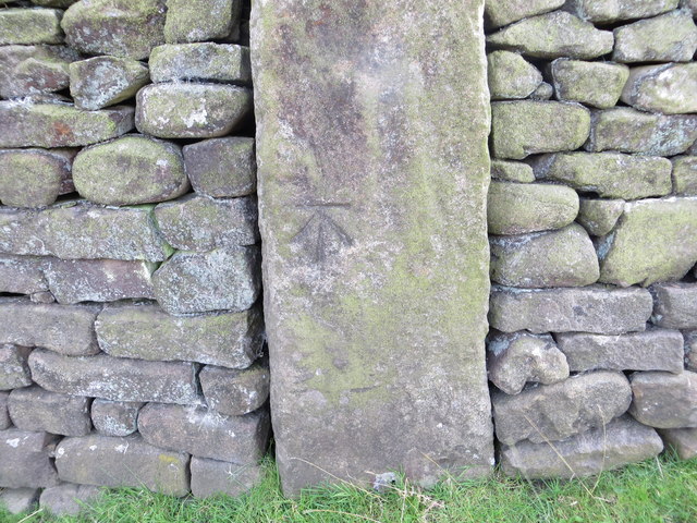
Ordnance Survey Cut Mark
This can be found on a former gatepost beside the road near Dryster Clough.
For more detail see : Link
For more detail see : Link
 Map © Crown Copyright")
TIP: Click the map for more Large scale mapping
- Grid Square
- SD6450, 55 images (more nearby 🔍)
- Photographer
- Peter Wood (more nearby)
- Date Taken
- Wednesday, 20 August, 2014 (more nearby)
- Submitted
- Monday, 25 August, 2014
- Subject Location
-
OSGB36:
 SD 64867 50507 [1m precision]
WGS84: 53:56.9677N 2:32.2081W