2014
SD9501 : Footpath junction west of Hartshead Inn
taken 10 years ago, near to Hurst, Tameside, England
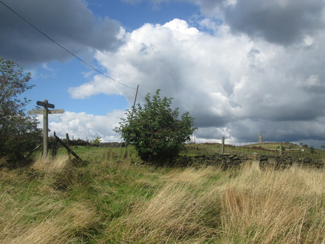
Footpath junction west of Hartshead Inn
The tower on Hartshead Pike in the distance
 Map © Crown Copyright")
TIP: Click the map for more Large scale mapping
- Grid Square
- SD9501, 51 images (more nearby 🔍)
- Photographer
- John Slater (more nearby)
- Date Taken
- Saturday, 23 August, 2014 (more nearby)
- Submitted
- Monday, 25 August, 2014
- Subject Location
-
OSGB36:
 SD 9595 0183 [10m precision]
WGS84: 53:30.7880N 2:3.7526W - Camera Location
-
OSGB36: SD 9597 0180
- View Direction
- North-northwest (about 337 degrees)