2007
HP6214 : Buddabrake peat track
taken 17 years ago, near to Burrafirth, Unst, Shetland Islands, Scotland
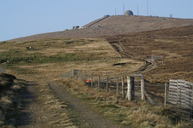
Buddabrake peat track
The track onto the hill, where residents of Buddabrake and other parts of Burrafirth would have cut peats in the past; the hill of Saxa Vord is in the distance.
 Map © Crown Copyright")
TIP: Click the map for more Large scale mapping
- Grid Square
- HP6214, 10 images (more nearby 🔍)
- Photographer
- Mike Pennington (more nearby)
- Date Taken
- Thursday, 26 April, 2007 (more nearby)
- Submitted
- Thursday, 26 April, 2007
- Subject Location
-
OSGB36:
 HP 623 143 [100m precision]
WGS84: 60:48.4362N 0:51.3698W - Camera Location
-
OSGB36: HP 622 140
- View Direction
- North-northeast (about 22 degrees)