2014
SK6760 : Poplar tree lined drive to Anderson Farm or is it Coultas Farm as per the map?
taken 10 years ago, near to Eakring, Nottinghamshire, England
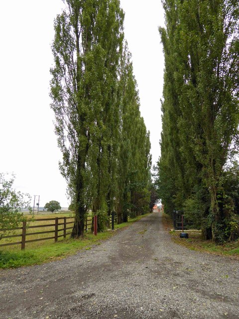
Poplar tree lined drive to Anderson Farm or is it Coultas Farm as per the map?
 Map © Crown Copyright")
TIP: Click the map for more Large scale mapping
- Grid Square
- SK6760, 37 images (more nearby 🔍)
- Photographer
- Steve Fareham (more nearby)
- Date Taken
- Tuesday, 26 August, 2014 (more nearby)
- Submitted
- Tuesday, 26 August, 2014
- Subject Location
-
OSGB36:
 SK 6745 6050 [10m precision]
WGS84: 53:8.2437N 0:59.5923W - Camera Location
-
OSGB36: SK 6740 6048
- View Direction
- East-northeast (about 67 degrees)