2014
NN9544 : Windthrow, Griffin Forest
taken 10 years ago, 4 km WSW of Dalmarnock, Perth And Kinross, Scotland
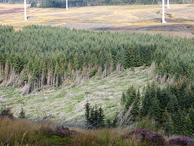
Windthrow, Griffin Forest
Some of the eastern part of the forest survived the wind farm, but this bit fell foul of the weather.
 Map © Crown Copyright")
TIP: Click the map for more Large scale mapping
- Grid Square
- NN9544, 6 images (more nearby 🔍)
- Photographer
- Richard Webb (more nearby)
- Date Taken
- Saturday, 23 August, 2014 (more nearby)
- Submitted
- Wednesday, 27 August, 2014
- Subject Location
-
OSGB36:
 NN 9545 4421 [10m precision]
WGS84: 56:34.6882N 3:42.2096W - Camera Location
-
OSGB36: NN 9524 4403
- View Direction
- Northeast (about 45 degrees)