2009
SP1484 : The Stirrup Cup Pub, Brays Road, Sheldon, Birmingham
taken 15 years ago, near to Sheldon, Birmingham, England
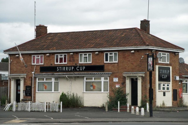
The Stirrup Cup Pub, Brays Road, Sheldon, Birmingham
Demolished in 2013 to make way for a shop
 Map © Crown Copyright")
TIP: Click the map for more Large scale mapping
- Grid Square
- SP1484, 33 images (more nearby 🔍)
- Photographer
- Ann Causer (more nearby)
- Date Taken
- May 2009 (more nearby)
- Submitted
- Thursday, 28 August, 2014
- Subject Location
-
OSGB36:
 SP 147 848 [100m precision]
WGS84: 52:27.6571N 1:47.1046W - Camera Location
-
OSGB36: SP 147 848
- View Direction
- Northeast (about 45 degrees)