2005
SH7505 : Picnic Area Tan y Coed
taken 19 years ago, near to Plâs Llwyngwern, Powys, Wales
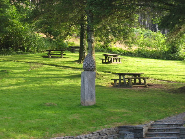
Picnic Area Tan y Coed
This is the parking and picnic area at the start of the Tan y Coed forest trail.
 Map © Crown Copyright")
TIP: Click the map for more Large scale mapping
- Grid Square
- SH7505, 25 images (more nearby 🔍)
- Photographer
- Stuart and Fiona Jackson (more nearby)
- Date Taken
- Wednesday, 10 August, 2005 (more nearby)
- Submitted
- Monday, 22 August, 2005
- Subject Location
-
OSGB36:
 SH 75 05 [1000m precision]
WGS84: 52:37.9757N 3:50.4632W