2014
TL8100 : Lane east of Charity Farm
taken 10 years ago, near to Woodham Ferrers, Essex, England
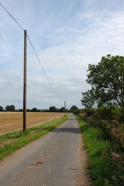
Lane east of Charity Farm
It seems that farms with this name are not uncommon though I do not know the derivation.
 Map © Crown Copyright")
TIP: Click the map for more Large scale mapping
- Grid Square
- TL8100, 29 images (more nearby 🔍)
- Photographer
- Trevor Harris (more nearby)
- Date Taken
- Friday, 29 August, 2014 (more nearby)
- Submitted
- Saturday, 30 August, 2014
- Subject Location
-
OSGB36:
 TL 8140 0015 [10m precision]
WGS84: 51:40.2500N 0:37.3144E - Camera Location
-
OSGB36: TL 8128 0013
- View Direction
- East-northeast (about 67 degrees)