2014
NY6973 : Dry Stone Wall, Smallburn Hill
taken 10 years ago, near to Butterburn, Cumbria, England
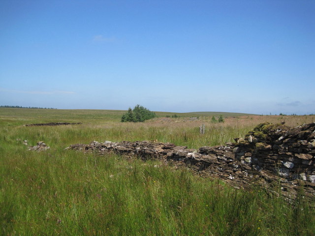
Dry Stone Wall, Smallburn Hill
 Map © Crown Copyright")
TIP: Click the map for more Large scale mapping
- Grid Square
- NY6973, 6 images (more nearby 🔍)
- Photographer
- Les Hull (more nearby)
- Date Taken
- Wednesday, 23 July, 2014 (more nearby)
- Submitted
- Saturday, 30 August, 2014
- Subject Location
-
OSGB36:
 NY 6969 7346 [10m precision]
WGS84: 55:3.2818N 2:28.5597W - Camera Location
-
OSGB36: NY 6971 7333
- View Direction
- North-northwest (about 337 degrees)