2014
SN1300 : Ordnance Survey Cut Mark
taken 10 years ago, near to Tenby/Dinbych-y-Pysgod, Pembrokeshire/Sir Benfro, Wales
This is 1 of 21 images, with title Ordnance Survey Cut Mark in this square
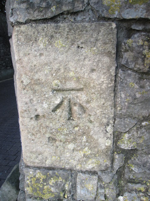
Ordnance Survey Cut Mark
This OS cut mark can be found to the right of the archway, entrance to the Paragon. It marks a point 24.857m above mean sea level.
 Map © Crown Copyright")
TIP: Click the map for more Large scale mapping
- Grid Square
- SN1300, 1524 images (more nearby 🔍)
- Photographer
- Adrian Dust (more nearby)
- Date Taken
- Thursday, 28 August, 2014 (more nearby)
- Submitted
- Saturday, 30 August, 2014
- Subject Location
-
OSGB36:
 SN 1343 0023 [10m precision]
WGS84: 51:40.1870N 4:41.9652W - Camera Location
-
OSGB36: SN 1343 0023
- View Direction
- East-northeast (about 67 degrees)