2014
NC7007 : Mile after mile of moor above Rogart
taken 10 years ago, near to West Langwell, Highland, Scotland
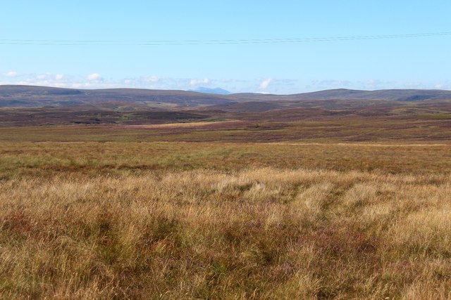
Mile after mile of moor above Rogart
Scatterings of Hut Circle remains indicate that this scene was fertile enough to allow a basic living to be scratched from it long ago.
 Map © Crown Copyright")
TIP: Click the map for more Large scale mapping
- Grid Square
- NC7007, 2 images (more nearby 🔍)
- Photographer
- Alan Reid (more nearby)
- Date Taken
- Wednesday, 27 August, 2014 (more nearby)
- Submitted
- Sunday, 31 August, 2014
- Subject Location
-
OSGB36:
 NC 7024 0724 [10m precision]
WGS84: 58:2.1160N 4:11.9564W - Camera Location
-
OSGB36: NC 7098 0798
- View Direction
- Southwest (about 225 degrees)