2014
NC3137 : A838 by Loch More
taken 10 years ago, 3 km from Aultanrynie, Highland, Scotland
This is 1 of 2 images, with title A838 by Loch More in this square
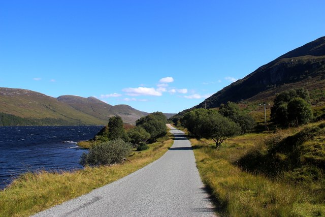
A838 by Loch More
 Map © Crown Copyright")
TIP: Click the map for more Large scale mapping
- Grid Square
- NC3137, 11 images (more nearby 🔍)
- Photographer
- Alan Reid (more nearby)
- Date Taken
- Wednesday, 27 August, 2014 (more nearby)
- Submitted
- Sunday, 31 August, 2014
- Subject Location
-
OSGB36:
 NC 3197 3750 [10m precision]
WGS84: 58:17.6324N 4:52.1023W - Camera Location
-
OSGB36: NC 3188 3756
- View Direction
- Southeast (about 135 degrees)