2014
SJ5146 : Bradley Lane at Bradley Green
taken 10 years ago, near to No Man's Heath, Cheshire West And Chester, England
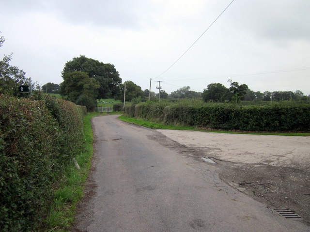
Bradley Lane at Bradley Green
Looking south as the lane enters the hamlet. Entrance to an un-named farm is on the right.
 Map © Crown Copyright")
TIP: Click the map for more Large scale mapping
- Grid Square
- SJ5146, 8 images (more nearby 🔍)
- Photographer
- Jeff Buck (more nearby)
- Date Taken
- Thursday, 28 August, 2014 (more nearby)
- Submitted
- Sunday, 31 August, 2014
- Subject Location
-
OSGB36:
 SJ 511 462 [100m precision]
WGS84: 53:0.6683N 2:43.7447W - Camera Location
-
OSGB36: SJ 511 462
- View Direction
- South-southeast (about 157 degrees)