2014
SU6421 : South Downs Way, Exton to Buriton (69)
taken 10 years ago, near to West Meon, Hampshire, England
South Downs Way, Exton to Buriton (69)
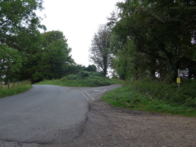
Road fork: Hayden Lane to the left: Old Winchester Hill Lane straight on
(Path to Whitewool Farm to the right)
(Path to Whitewool Farm to the right)
Completing the completed
By which I mean I did the South Downs Way from Eastbourne to Buriton in 1976, but these days there are two extra stages; so I am going to do them, thus completing the new modern 21st century SDW!
 Map © Crown Copyright")
TIP: Click the map for more Large scale mapping
- Grid Square
- SU6421, 53 images (more nearby 🔍)
- Photographer
- Basher Eyre (more nearby)
- Date Taken
- Saturday, 30 August, 2014 (more nearby)
- Submitted
- Monday, 1 September, 2014
- Subject Location
-
OSGB36:
 SU 6448 2167 [10m precision]
WGS84: 50:59.4496N 1:4.9594W - Camera Location
-
OSGB36: SU 6449 2165
- View Direction
- North-northwest (about 337 degrees)