2014
SD8674 : Moorland road near Upper Hesleden
taken 10 years ago, near to Foxup, North Yorkshire, England
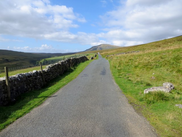
Moorland road near Upper Hesleden
The road runs through moorland from Stainforth to Halton Gill.
 Map © Crown Copyright")
TIP: Click the map for more Large scale mapping
- Grid Square
- SD8674, 24 images (more nearby 🔍)
- Photographer
- philandju (more nearby)
- Date Taken
- Tuesday, 2 September, 2014 (more nearby)
- Submitted
- Wednesday, 3 September, 2014
- Subject Location
-
OSGB36:
 SD 8678 7435 [10m precision]
WGS84: 54:9.8868N 2:12.2382W - Camera Location
-
OSGB36: SD 86977 74414
- View Direction
- West-southwest (about 247 degrees)