2014
NO4848 : Hillend of Burnside Farm
taken 10 years ago, near to Lownie Moor, Angus, Scotland
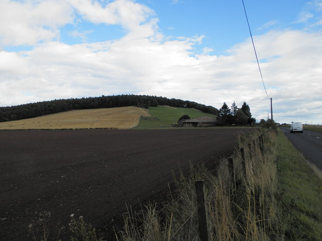
Hillend of Burnside Farm
 Map © Crown Copyright")
TIP: Click the map for more Large scale mapping
- Grid Square
- NO4848, 24 images (more nearby 🔍)
- Photographer
- Douglas Nelson (more nearby)
- Date Taken
- Saturday, 30 August, 2014 (more nearby)
- Submitted
- Wednesday, 3 September, 2014
- Subject Location
-
OSGB36:
 NO 4863 4886 [10m precision]
WGS84: 56:37.7251N 2:50.3342W - Camera Location
-
OSGB36: NO 4850 4889
- View Direction
- East-southeast (about 112 degrees)