2014
NJ6201 : A lane heading SW from Brebner Place
taken 10 years ago, near to Torphins, Aberdeenshire, Scotland
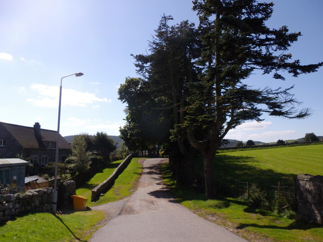
A lane heading SW from Brebner Place
The way to Torphins cemetery.
 Map © Crown Copyright")
TIP: Click the map for more Large scale mapping
- Grid Square
- NJ6201, 487 images (more nearby 🔍)
- Photographer
- Stanley Howe (more nearby)
- Date Taken
- Tuesday, 2 September, 2014 (more nearby)
- Submitted
- Wednesday, 3 September, 2014
- Subject Location
-
OSGB36:
 NJ 6224 0175 [10m precision]
WGS84: 57:6.3093N 2:37.4979W - Camera Location
-
OSGB36: NJ 6225 0177
- View Direction
- Southwest (about 225 degrees)