2014
SY5493 : Eggardon Copse
taken 10 years ago, near to Askerswell, Dorset, England
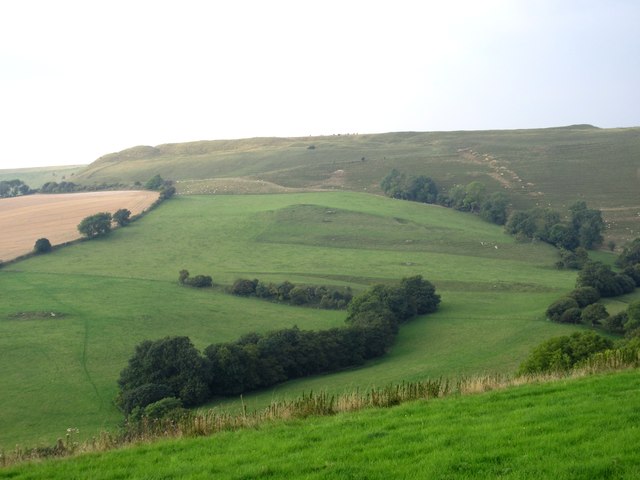
Eggardon Copse
This view of Eggardon Copse is taken from the steep-sided Spyway Road. The grid line runs through the kink in the wood just below the arm going towards the left. Behind in the next grid square on the horizon is the historic iron-age hill fort of Eggardon Hill.
 Map © Crown Copyright")
TIP: Click the map for more Large scale mapping
- Grid Square
- SY5493, 18 images (more nearby 🔍)
- Photographer
- Sarah Smith (more nearby)
- Date Taken
- Wednesday, 3 September, 2014 (more nearby)
- Submitted
- Thursday, 4 September, 2014
- Subject Location
-
OSGB36:
 SY 5417 9391 [10m precision]
WGS84: 50:44.5787N 2:39.0539W - Camera Location
-
OSGB36: SY 5403 9360
- View Direction
- North-northeast (about 22 degrees)