2014
NR8261 : Redhouse Burn
taken 10 years ago, near to Kennacraig, Argyll And Bute, Scotland
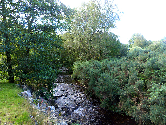
Redhouse Burn
A short way above where it flows into West Loch Tarbert.
 Map © Crown Copyright")
TIP: Click the map for more Large scale mapping
- Grid Square
- NR8261, 18 images (more nearby 🔍)
- Photographer
- Oliver Dixon (more nearby)
- Date Taken
- Saturday, 30 August, 2014 (more nearby)
- Submitted
- Thursday, 4 September, 2014
- Subject Location
-
OSGB36:
 NR 8245 6172 [10m precision]
WGS84: 55:47.9786N 5:28.3497W - Camera Location
-
OSGB36: NR 82430 61763
- View Direction
- South-southeast (about 157 degrees)