2014
SE9785 : Footpath Yedmandale Woods
taken 10 years ago, near to West Ayton, North Yorkshire, England
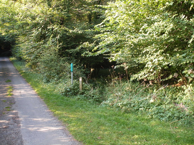
Footpath Yedmandale Woods
The posts mark the start of a footpath which runs from the road to High Yedmandale up a valley through the woods to Cockrah Road.
 Map © Crown Copyright")
TIP: Click the map for more Large scale mapping
- Grid Square
- SE9785, 7 images (more nearby 🔍)
- Photographer
- Christopher Hall (more nearby)
- Date Taken
- Thursday, 4 September, 2014 (more nearby)
- Submitted
- Friday, 5 September, 2014
- Subject Location
-
OSGB36:
 SE 978 859 [100m precision]
WGS84: 54:15.6035N 0:30.0070W - Camera Location
-
OSGB36: SE 978 859
- View Direction
- NORTH (about 0 degrees)