2014
TQ2579 : Holland Park
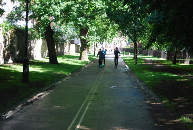
taken 10 years ago, near to Kensington, Kensington And Chelsea, England
This is 1 of 3 images, with title Holland Park in this square
Holland Park
Holland Park is about 22 hectares in area and is considered one of the most peaceful parks of West London. The northern half or so of the park is semi-wild woodland, the central section around the ruins of Holland House is more formal with several garden areas, and the southernmost section is used for sport.
Holland House is now a fragmentary ruin, having been devastated by incendiary bombing in 1940, but the ruins and the grounds were bought by London County Council in 1952 from the last private owner, the 6th Earl of Ilchester. Today the remains of the house form a backdrop for the open air Holland Park Theatre, which is the home of Opera Holland Park. The green-roofed Commonwealth Institute lies to the south.
The park contains a famous orangery, a giant chess set, a cricket pitch, tennis courts, a Japanese garden, a youth hostel, one of London's best equipped children's playgrounds, squirrels and (impressively for a London park) peacocks. In 2010, the park set aside a part which is home to pigs, their job over the next 12 months is to reclaim the area from nettles etc., in order to create another meadow area for wild flowers and fauna.
The Holland Park Ecology Centre, operated by the borough's Ecology Service, offers environmental education programs including nature walks, talks, programs for schools and outdoor activity programs for children.
See other images of Holland Park
 Map © Crown Copyright")
TIP: Click the map for more Large scale mapping
- Grid Square
- TQ2579, 906 images (more nearby 🔍)
- Photographer
- N Chadwick (more nearby)
- Date Taken
- Saturday, 24 May, 2014 (more nearby)
- Submitted
- Saturday, 6 September, 2014
- Subject Location
-
OSGB36:
 TQ 2509 7938 [10m precision]
WGS84: 51:29.9716N 0:11.9567W - Camera Location
-
OSGB36: TQ 2509 7940
- View Direction
- South-southeast (about 157 degrees)