2014
TA2805 : Path leading to the former Peaks Tunnel Farm
taken 10 years ago, near to New Waltham, North East Lincolnshire, England
This is 1 of 2 images, with title starting with Path leading to the in this square
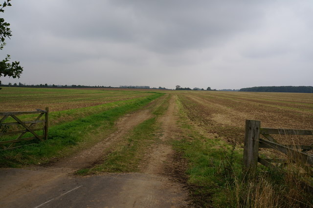
Path leading to the former Peaks Tunnel Farm
 Map © Crown Copyright")
TIP: Click the map for more Large scale mapping
- Grid Square
- TA2805, 25 images (more nearby 🔍)
- Photographer
- Ian S (more nearby)
- Date Taken
- Friday, 5 September, 2014 (more nearby)
- Submitted
- Sunday, 7 September, 2014
- Subject Location
-
OSGB36:
 TA 2845 0595 [10m precision]
WGS84: 53:32.0703N 0:3.8034W - Camera Location
-
OSGB36: TA 2848 0589
- View Direction
- North-northwest (about 337 degrees)