2014
SK8077 : Broadings Lane
taken 10 years ago, near to Rampton, Nottinghamshire, England
This is 1 of 3 images, with title starting with Broadings in this square
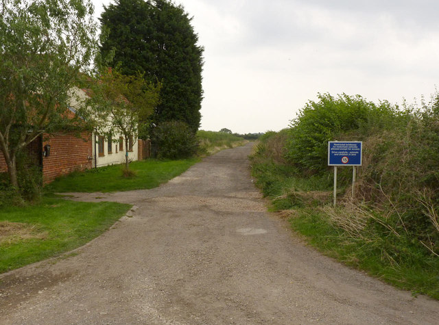
Broadings Lane
There is a network of these restricted byways in the area. The notice refers to it as a 'Restricted Bridleway'.
 Map © Crown Copyright")
TIP: Click the map for more Large scale mapping
- Grid Square
- SK8077, 35 images (more nearby 🔍)
- Photographer
- Alan Murray-Rust (more nearby)
- Date Taken
- Wednesday, 3 September, 2014 (more nearby)
- Submitted
- Monday, 8 September, 2014
- Subject Location
-
OSGB36:
 SK 8043 7742 [10m precision]
WGS84: 53:17.2593N 0:47.6978W - Camera Location
-
OSGB36: SK 8043 7749
- View Direction
- SOUTH (about 180 degrees)