2014
NU0943 : Holy Island Sands
taken 10 years ago, near to Beal, Northumberland, England
This is 1 of 3 images, with title Holy Island Sands in this square
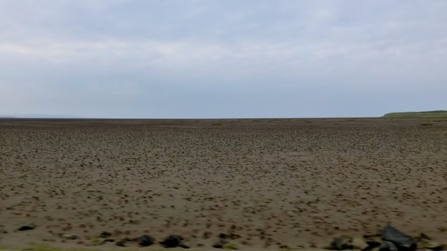
Holy Island Sands
A view north along Holy Island Sands to the west of Snook Point.
 Map © Crown Copyright")
TIP: Click the map for more Large scale mapping
- Grid Square
- NU0943, 115 images (more nearby 🔍)
- Photographer
- Rude Health (more nearby)
- Date Taken
- Wednesday, 3 September, 2014 (more nearby)
- Submitted
- Tuesday, 9 September, 2014
- Subject Location
-
OSGB36:
 NU 0913 4315 [10m precision]
WGS84: 55:40.9051N 1:51.3822W - Camera Location
-
OSGB36: NU 0913 4302
- View Direction
- NORTH (about 0 degrees)